|
The city of Les Fins is a small town located east of France. The city of Les Fins is located in the department of Doubs of the french region Franche-Comté. The city of Les Fins is located in the township of Morteau part of the district of Pontarlier. The area code for Les Fins is 25240 (also known as code INSEE), and the Les Fins zip code is 25500.
Geography and map of Les Fins :
The altitude of the city hall of Les Fins is approximately 850 meters. The Les Fins surface is 25.39 km ². The latitude and longitude of Les Fins are 47.078 degrees North and 6.629 degrees East.
Nearby cities and towns of Les Fins are :
Morteau (25500) at 3.08 km, Villers-le-Lac (25130) at 3.61 km, Noël-Cerneux (25500) at 3.75 km, Montlebon (25500) at 4.52 km, Le Bélieu (25500) at 4.58 km, La Chenalotte (25500) at 5.38 km, Les Combes (25500) at 5.71 km, La Bosse (25210) at 6.89 km.
(The distances to these nearby towns of Les Fins are calculated as the crow flies)
Population and housing of Les Fins :
The population of Les Fins was 2 590 in 1999, 2 807 in 2006 and 2 805 in 2007. The population density of Les Fins is 110.48 inhabitants per km². The number of housing of Les Fins was 1 226 in 2007. These homes of Les Fins consist of 1 130 main residences, 24 second or occasional homes and 72 vacant homes. |
|
|
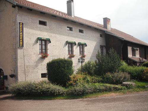
Hotel Les Fins
|
|
|
Book now ! Best Price Guaranteed, no booking fees, pay at the hotel with our partner Booking.com, leader in online hotel reservation.
Find all hotels of Les Fins : Hotel Les Fins
| |
|
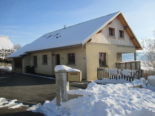
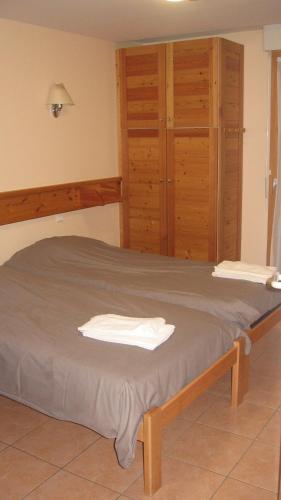
Guest accommodation : Gîte LA MOUSSETTE

Situated in Morteau in the Franche-Comté region, Gîte LA MOUSSETTE is a 2-star property featuring free WiFi. This holiday home offers barbecue facilities. Composed of 2 bedroom...
Address : 26 rue du FORT-MADOUX 25500 Morteau
Distance Guest accommodation - Les Fins : 3.05 km
|
|
|
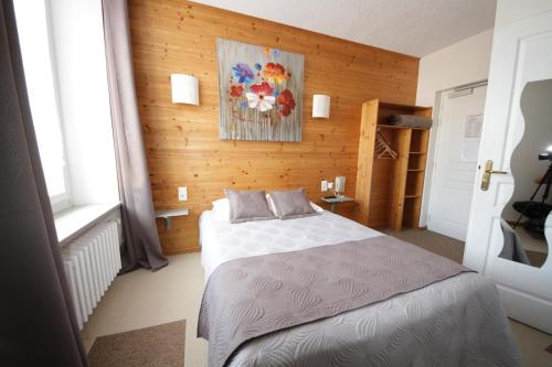
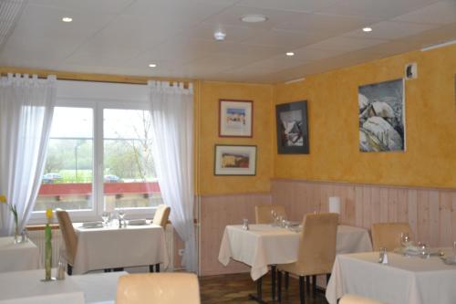
Hotel : Hotel Les Montagnards
Offering a terrace and sun terrace, Hotel des Montagnards is located in Morteau in the Franche-Comté Region. All rooms are fitted with a flat-screen TV. Each room is fitted wit...
Price : from 63.00 €
to 69.00 €
Contact : 7 bis place Carnot 25500 Morteau
Distance Hotel - Les Fins : 3.11 km
|
|
|
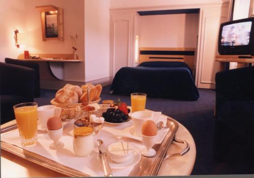
Hotel : Logis Hotel le France
Logis Hotel le France is located in Villiers-le-Lac, in the Upper Doubs Mountains. The Swiss Border is 2.2 km away. The rooms at Logis Hotel le France and are equipped with sho...
Prices : from 66.70 €
to 132.25 €
Contact : 8, Place M. Cupillard 25130 Villers-le-Lac
Distance Hotel - Les Fins : 3.76 km
|
|
|
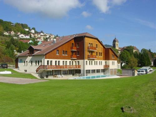
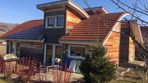
Residence : Espace Morteau
Espace Morteau is set in Morteau, just 10 km from the Swiss border and 15 k from the ski slopes. It is possible to rent snowshoes and mountain bikes. The rooms at Espace Mortea...
Rate : from 60.60 €
to 77.00 €
Contact : 10, chemin du Breuille - BP 32077 25502 Morteau
Distance Residence - Les Fins : 3.81 km
|
|
|
Guest accommodation : Evasion Tonique
Featuring a heated indoor pool and a games room is this holiday resort, located 2 km from Lake Chaillexon. The restaurant with its terrace offers a panoramic view of the valley....
Price : from 62.00 €
to 182.00 €
Address : 9 rue des Vergers 25130 Villers-le-Lac
Distance Guest accommodation - Les Fins : 3.82 km
|
|
|
Guest accommodation : Chambre d'hôte Odoubs

Set in Les Bassots, Chambre d'hôte Odoubs features barbecue facilities, garden and free WiFi. Among the various facilities are a terrace and a shared lounge. The guest house has...
Prices : from 41.00 €
Contact : 11 rue du chaney 25130 Villers-le-Lac
Distance Guest accommodation - Les Fins : 4.51 km
|
|
|
Hotel : Hotel Du Pont
Located in La GrandʼCombe-Châteleu, 2.7 km from La Bonade – Grand Combe Chateleu (Val de Morteau), Hotel Du Pont has a terrace and rooms with free WiFi access. There is a restau...
Rate : from 75.00 €
Contact : 4 Le Pont de la Roche 25570 La GrandʼCombe-Châteleu
Distance Hotel - Les Fins : 5.95 km
|
|
|
Apartment : Gite Haut Doubs
Situated 48 km from Besançon and 27 km from Neuchâtel, Gite Haut Doubs offers accommodation in La Grand’Combe-Châteleu. The property features views of the garden is 29 km from Y...
Contact : 12 B Le Cerneux 25570 La GrandʼCombe-Châteleu
Distance Apartment - Les Fins : 6.56 km
|
|
|
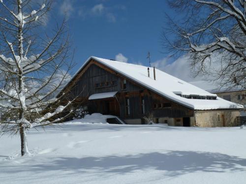
Hotel : Auberge de la Motte
Located in Les Combes, Auberge de la Motte has ski-to-door access and a garden. All rooms feature a flat-screen TV with satellite channels and a private bathroom. The hotel has ...
Prices : from 60.00 €
to 97.00 €
Address : 2 rue du 8 mai 25500 Les Combes
Distance Hotel - Les Fins : 6.71 km
|
|
|
Guest accommodation : La Combe d'Abondance
Set in a 2-hectare garden, 8 km from Morteau, La Combe d'Abondance is an authentic Comtoise farm and offers soundproofed accommodation for up to 5 persons, a restaurant, a sauna...
Rate : from 90.00 €
to 228.00 €
Contact : 14, La Combe d'Abondance 25500 Les Combes
Distance Guest accommodation - Les Fins : 8.04 km
|
|
Find another hotel near Les Fins : Les Fins hotels list
|
Map of Les Fins
|
|
Map of Les Fins :
At right you can find the localization of Les Fins on the map of France. Below, this is the satellite map of Les Fins. A road map, and maps templates of Les Fins are available here : "road map of Les Fins". This map show Les Fins seen by the satellite of Google Map. To see the streets of Les Fins or move on another zone, use the buttons "zoom" and "map" on top of this dynamic map.
Search on the map of Les Fins :
To search hotels, housings, tourist information office, administrations or other services, use the Google search integrated to the map on the following page : "map Les Fins".
Hotels of Les Fins are listed on the map with the following icons: 
The map of Les Fins is centred in the following coordinates :
|

|
|
|
|
Print the map of Les Fins

Print the map of Les Fins : map of Les Fins
|
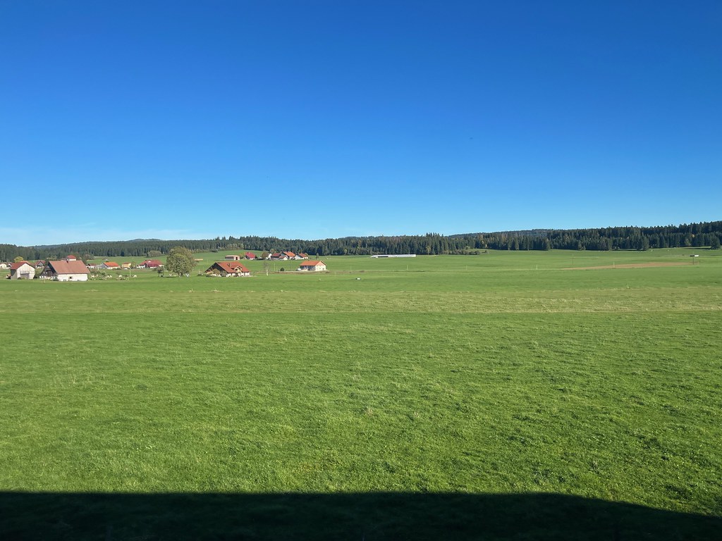
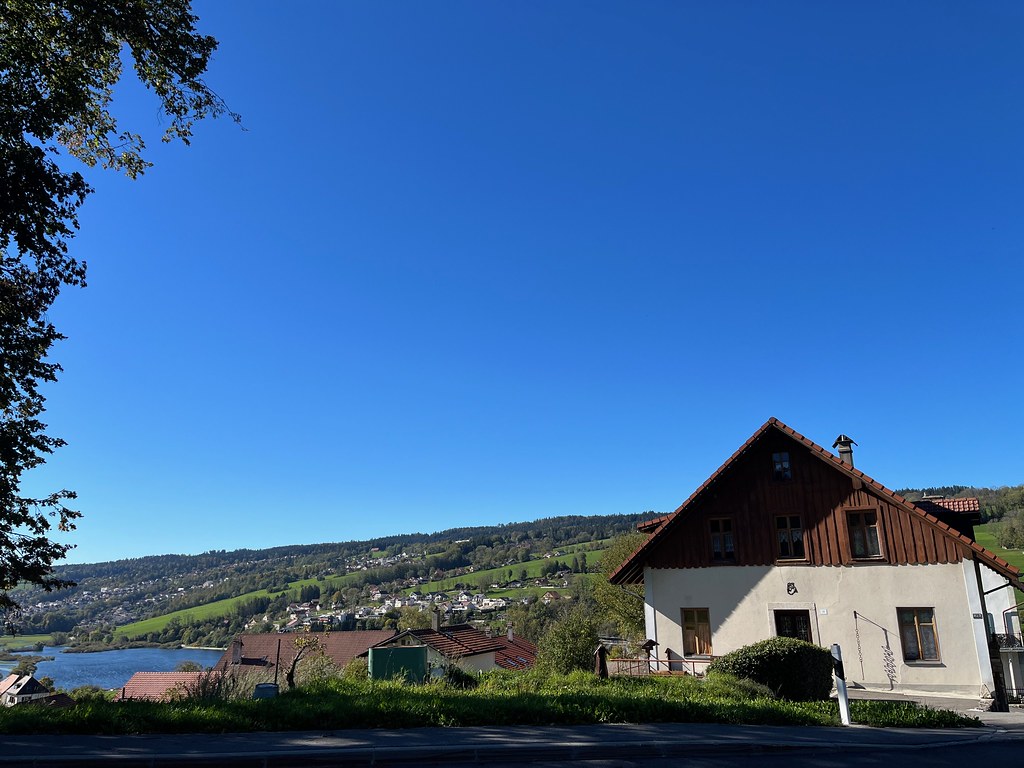
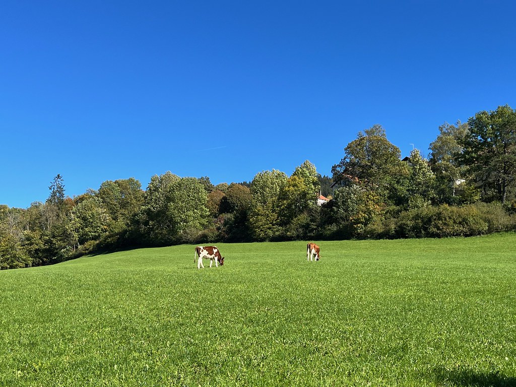
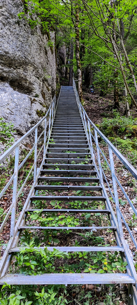
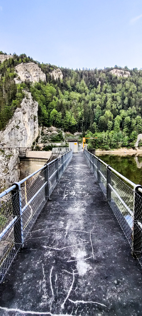
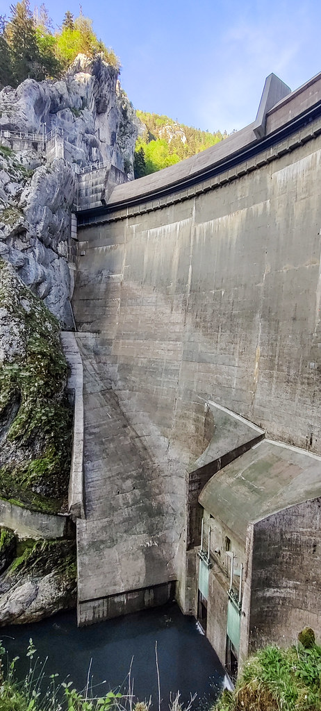
Photos Les Fins
|
See all photos of Les Fins :
Other photos of Les Fins and nearby towns can be found here: photos Les Fins
|
|
Les Fins weather forecast
Find next hours and 7 days weather forecast for Les Fins here : weather Les Fins (with english metrics)
This is the last weather forecast for Les Fins collected by the nearest observation station of Morteau.
Week Forecast:
The latest weather data for Les Fins were collected Friday, 31 July 2026 at 19:02 from the nearest observation station of Morteau.
| Friday, July 31st |
29°C 16°C
63%
62%
|
Rain
Temperature Max: 29°C Temperature Min: 16°C
Precipitation Probability: 63% (Rain)
Percentage of sky occluded by clouds: 62%
Wind speed: 12 km/h North-East
Humidity: 46%° UV Index: 5
Sunrise: 06:11 Sunset: 21:08 |
|
| | Saturday, August 1st |
26°C 15°C
56%
62%
|
Drizzle
Temperature Max: 26°C Temperature Min: 15°C
Precipitation Probability: 56% (Rain)
Percentage of sky occluded by clouds: 62%
Wind speed: 7 km/h South-East
Humidity: 65%° UV Index: 5
Sunrise: 06:12 Sunset: 21:06 |
|
| | Sunday, August 2nd |
29°C 14°C
0%
32%
|
Mostly clear
Temperature Max: 29°C Temperature Min: 14°C
Precipitation Probability: 0%
Percentage of sky occluded by clouds: 32%
Wind speed: 5 km/h North-East
Humidity: 51%° UV Index: 8
Sunrise: 06:13 Sunset: 21:05 |
|
| | Monday, August 3rd |
31°C 17°C
35%
38%
|
Drizzle
Temperature Max: 31°C Temperature Min: 17°C
Precipitation Probability: 35% (Rain)
Percentage of sky occluded by clouds: 38%
Wind speed: 6 km/h North-East
Humidity: 41%° UV Index: 7
Sunrise: 06:15 Sunset: 21:03 |
|
|
Attribution: 
|
|
Other maps, hotels and towns in france
Find another town, zip code, department, region, ...
Quick links Les Fins :
Make a link to this page of Les Fins with the following code :
|
|
|
 French Version : http://www.cartesfrance.fr/carte-france-ville/25240_Les Fins.html